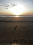
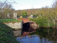
Kent coast from the air, well GoogleEarth

It has been a couple of weeks since I completed my walk around the coast of Kent, and I have just read that Google have just updated their high resolution photographs for Kent. As I write they are on GoogleEarth now, but it is normally a few days before they are on GoogleMaps.

Did they get me? Am I on GoogleEarth?? What are the views like…

Continue reading

Day 10 Greenhithe to Dartford

Overnight another band of rain had raced through, leaving a trail of heavy showers in its wake. The forecast was not great and the wind was up again. I headed back to Gravesend on the bus and decided to catch a train up to Greenhithe.

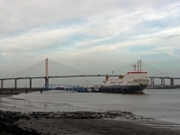
I missed out a bit of coast but the map and guide showed it as full of industrial areas and waste ground – not pleasant walking particularly in this weather. From Greenhithe I was able to make it quickly back onto the path and soon the Dartford Bridge was looming above me.
Continue reading

Day 7 Sittingbourne to Rochester

The Isle of Sheppey was now off the list due to the bad weather, perhaps another time. The forecast was still not great so I headed out of Sittingbourne by the most direct route – the A2, which follows the line of an old roman road in almost a straight line all the way to Rochester.

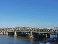
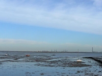
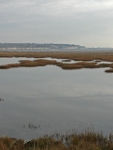
I soon became bored of the A2 and, with the weather improving, I decided to cut back to the coast and rejoined the shoreline path at Lower Halstow. The path now followed the estuary of the River Medway and the outgoing tide had exposed great swathes of marsh and mud.

Continue reading

Day 6 Whitstable to Sittingbourne

Having been given a room at the very top of the B&B I had half expected to be woken in the night by the wind, and perhaps have made it to France. The weather forecast on the morning news did not provide much to look forward to, much of the country seemed to have been hit with severe weather, roads were closed, trees were down, electricity supplies had failed.

As I walked back towards the shore it was breezy but while it had been raining there were only a few spots of rain in the air. I soon found that I was being sheltered from most of the bad weather by the town, walking along the beach I soon found I was walking into gale force winds and driving rain. The sky was almost black and the sea was churning violently.

Continue reading

Day 4 Worth to Margate

It was an early start again today but at least it was light – I could easily see the path out of Worth – and I headed back towards Sandwich. I wished I could have stayed in Sandwich for a little while but I had quite a trek to make it to Margate and I was moving quite slowly after yesterday’s exertion.

Leaving Sandwich I was on the long slog through the Pfizer industrial complex and along the main road to many miles. It was hardly inspiring and I was wishing that I had caught the train to Ramsgate instead. Though after I had passed the old power station at Richborough I was able to get off the path along the main road and meander instead through Pegwell Bay Country Park.

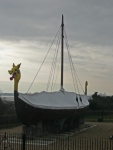
I also passed the replica Viking ship ‘Hugin’ which sailed from Denmark to Thanet in 1949 to celebrate the 1500th anniversary of the invasion of Britain. Pegwell Bay is marked on the OS map as the ‘Traditional site of the Landing of the Saxons 449 & St Augustine 597’.

Continue reading

Day 3 Dover to Worth

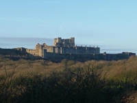
The views of the Castle offered a good distraction to the poor walking through scrub woodland and wasteland. One highlight was coming across the memorial to Louis Bleriot’s record breaking first flight across the Channel in 1909. The silhouette of the plane was marked out on the ground but it seemed fairly lost, hidden deep within dark scruffy woodland, and I did not stay long.

After a few more twists and turns, humps and hollows, I was up on the cliff tops above the Eastern Docks. I could have stayed here for hours gazing out to sea and watching the comings and goings in the harbour – the movement of ships, lorries and cars looked almost balletic. However the White Cliffs beckoned.
Continue reading

Day 2 Dymchurch to Dover

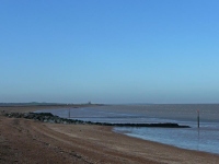
The weather was even better today, and after an early start I headed off along the sea wall path. The tide was out and in the far distance it looked like a large digger and lorry were making massive sandcastles.

As I got closer to the workings it became apparent they had closed the beach to work on the sea defences and I had to take to the pavement along the road that ran parallel to the shore. More bad news was to follow, as the sound of the beach workings diminished I could hear a battle – well gunshots – and spotted the red flags were flying over the Hythe Ranges. It was time for plan B and I headed inland towards the Royal Military Canal.

Continue reading

Pages: 1 2 >