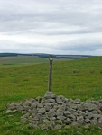
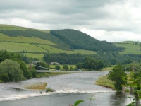
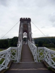
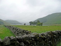
I was glad I was starting from Britain’s highest village, but there were still some long climbs today that would take me over the highest point on the walk on a day that was almost 25 miles long. Thankfully it was cool and cloudy as I started out from Wanlockhead, really good walking weather, though it was not to last with some early rain and then heavier showers in the afternoon.
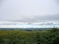
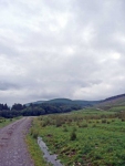
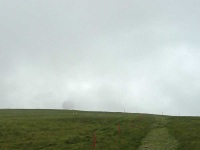
The first objective was to make it to the ‘Golf Ball’ radar station at the top of Lowther Hill (the highest point on the walk at 725 metres), but as I made my way over the first ridge it was nowhere to be seen, shrouded in low cloud which was clinging to the tops of the hills on the route ahead.
Continue reading →
