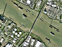
It has been a couple of weeks since I completed my walk around the coast of Kent, and I have just read that Google have just updated their high resolution photographs for Kent. As I write they are on GoogleEarth now, but it is normally a few days before they are on GoogleMaps.
Did they get me? Am I on GoogleEarth?? What are the views like…
I doubt that I made it :-( from the look of the flowers and foliage my best guess is that these images date back to the spring and early summer. The oilseed rape seems to be in full bloom, most of the trees are in leaf – though if you look carefully some of the largest (which I presume will be oaks) have a slight pinky-brown tinge in patches on some of the trees and I think that will be the leaves just unfurling.
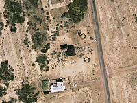
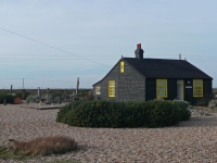
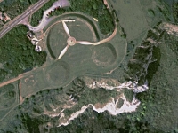
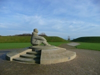
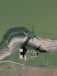
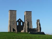
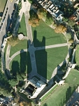
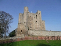
Some of the views down are excellent, and compare well with some of the photos I took on my way round…
| Derek Jarman’s garden | |
| Battle of Britain Memorial | |
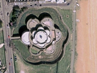
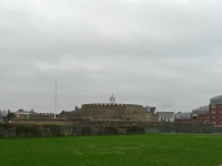
| Deal Castle | |
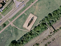
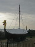
| Viking Ship at Pegwell Bay | |
| The remains of St Mary’s Church at Reculver | |
| Rochester Castle | |
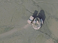
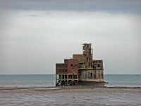
| Grain Tower | |
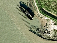
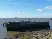
| An old boat rotting away on the River Thames | |
| Dartford Bridge | |

