The race was on! Could I make it to Lower Stoke before the bus?
For some reason there was a big gap in the scheduling of buses, I could wait for more than an hour or I could set off now and probably make it to the next village before the bus would arrive. It meant a lot of road tramping but there was little in Grain to hold my interest.
I pressed on and made it to within a stones throw of the bus stop at Lower Stoke before being overtaken by the bus – I was beaten but only just.
Thankfully the walk from now on, for the rest of the day, was going to be much more picturesque. I had two options – a walk along the northern shore or to cut across the middle of the peninsula. As I had already walked a fair distance the longer northern shore walk was discounted and I also hoped to find some more interesting countryside further inland along the higher ground.
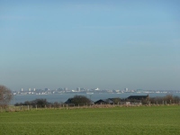
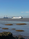
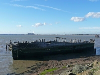
I still got good views of the River Thames from the middle of the peninsula and the walking was more interesting with a mix of farmland, small villages, woodland and orchards – I think I had the best of both worlds.
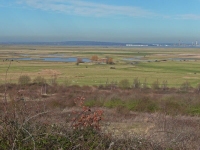
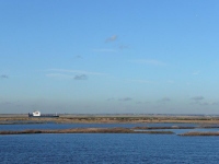
The views across the marshes at Cliffe were breathtaking – this is certainly no place for airport development. I made my way down onto the marshland and around the RSPB reserve with its large lakes and headed for Cliffe Fort which was where I would pick up the shoreline path.
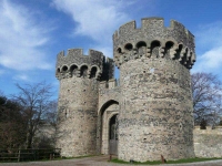
From the Fort I continued along the Saxon Shore Way and made steady progress towards Gravesend. It was such a nice day I continued into Gravesend instead of cutting inland to find the B&B for the night at Worth – in doing so I walked a little further but at just over 18 miles it was a good days walking.
I caught the bus out of Gravesend and made it to the B&B just before dusk.
View the map in Google Maps, or here is the Google Earth KML file.See all the pictures from all the days walking here in this gallery.

