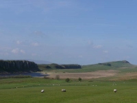
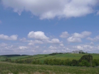
The wind had blown the clouds away overnight, and was still attempting to blow away anything that was not fastened down. Thankfully I had my energy back again, which was a good thing, as I would need all my strength to make headway into the wind.
Having wandered around on Hadrian’s Wall yesterday I decided to forgo another trip along the top and headed north to pick up a path that ran along the base of the escarpment. It was not long however until I rejoined the Pennine Way, as it turned northwards away from the line of Hadrian’s Wall and headed towards the plantation forests.
The forests looked quite foreboding yesterday, though today I was quite looking forward to reaching them for the shelter they might provide from the wind.
The plantations however were quite open, with large areas of open space. The path then crossed a bigger area of open space that looked like it had never been planted, before heading down into a denser plantation.
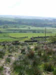
After another section of plantation, the path headed out over moorland and then down into improved pasture amongst little hidden valleys – some of which were quite steeply sided.
I was making steady progress, with the mast in the distance on top of Shitlington Crags becoming ever closer. It was then down into the valley of the River North Tyne, and the path joined the road into the centre of Bellingham.
Having crossed the bridge it was a relief to get off the road and join the path that followed the broad sweeping curves of the river, though before long I was in Bellingham and at the end of the day’s walk.
View the map in Google Maps, or here is the Google Earth KML file.More photos (from all the days of walking) can be found in the photo gallery.


