It was an early start again today but at least it was light – I could easily see the path out of Worth – and I headed back towards Sandwich. I wished I could have stayed in Sandwich for a little while but I had quite a trek to make it to Margate and I was moving quite slowly after yesterday’s exertion.
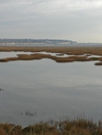
Leaving Sandwich I was on the long slog through the Pfizer industrial complex and along the main road to many miles. It was hardly inspiring and I was wishing that I had caught the train to Ramsgate instead. Though after I had passed the old power station at Richborough I was able to get off the path along the main road and meander instead through Pegwell Bay Country Park.
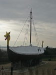
I also passed the replica Viking ship ‘Hugin’ which sailed from Denmark to Thanet in 1949 to celebrate the 1500th anniversary of the invasion of Britain. Pegwell Bay is marked on the OS map as the ‘Traditional site of the Landing of the Saxons 449 & St Augustine 597’.
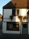
Rounding Pegwell Bay I made good progress along the the cliff top promenades of Ramsgate and Broadstairs. I had considered yesterday of bypassing Broadstairs completely and walking further inland, I am glad I did not as it is a delightful little town and I found an excellent sandwich shop.
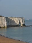
Leaving Broadstairs and passing through North Foreland (the most easterly point on the walk) I came across Botany Bay with the ‘door’ in the cliff of White Ness. Passing Foreness Point I was in Palm Bay though no sign of palm trees.
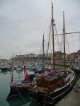
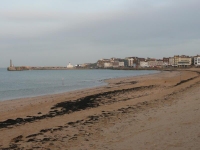
Walking along the bottom of the cliffs, along the beach promenade, I missed most of Margate. Approaching the bay and small harbour I was not sure that I had missed much and I pressed on to find the Youth Hostel in the western side of the town. After 17 miles I was glad to find it right on the sea front and away from the centre of town. It had been an interesting walk today but I was looking forward to a more picturesque walk tomorrow – away from the Isle of Thanet conurbations.
View the map in Google Maps, or here is the Google Earth KML file.See all the pictures from all the days walking here in this gallery.
