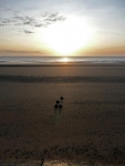
The weather was even better today, and after an early start I headed off along the sea wall path. The tide was out and in the far distance it looked like a large digger and lorry were making massive sandcastles.
As I got closer to the workings it became apparent they had closed the beach to work on the sea defences and I had to take to the pavement along the road that ran parallel to the shore. More bad news was to follow, as the sound of the beach workings diminished I could hear a battle – well gunshots – and spotted the red flags were flying over the Hythe Ranges. It was time for plan B and I headed inland towards the Royal Military Canal.
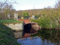
The canal was dug by hand as a third line of defence against Napoleon (after the Royal Navy patrolling the English Channel and the line of 74 Martello Towers built along the south coast) and was completed in April 1809. Today it offered an excellent walk into Hythe and the coastal path I had deviated from, and I made steady progress along to Folkestone.
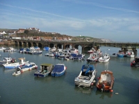
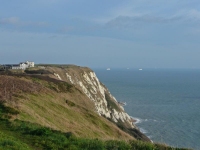
At Folkestone the first sign of chalk cliffs started to rise to my left. I wandered around the harbour and the small Sunday market, and under the cliffs to Copt Point. Here I had to leave the gentle level walking and head slightly inland to emerge on the cliff top path that was to take me to Dover.
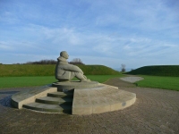
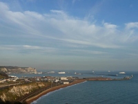
The progress along the cliff top was good, I passed the Battle of Britain Memorial and the figure of the airman starring out to sea and further along the remnants of pill boxes and defences in the undergrowth littered the cliff top. The visibility was hazy but the lines of ships entering and leaving Dover harbour was quite a sight and gave me some measure of progress.
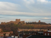
I covered almost 20 miles today, but it was the last few that were the hardest. The cliff top path was severely squeezed between the A20 main road out of town and the cliff edge and at the first opportunity I headed down and through the subway under the road. This then left Dover’s Western Heights as the main obstacle into town, with a couple of fairly cheeky steep paths, but it offered good views of Dover Castle on the eastern side of town (which would be the first objective in the morning).
See all the pictures from all the days walking here in this gallery.
