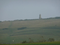
In the gloom yesterday evening I had just about caught sight of the top of the Pepperpot Lighthouse on St Catherine’s Hill, though as I rounded the bottom of Niton Down I got a much better view of this ancient lighthouse on top of the hill, and the newer lighthouse on St Catherine’s Point – the most southerly point of the Isle of Wight.
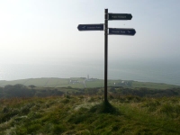
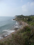
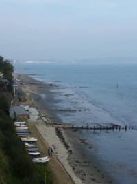
The start of the path today was again hemmed in, either on top of the high cliffs above St Lawrence or in the woodland that now covers The Landslip. There were some nice views into some of the numerous coves and bays but I was focused on making it to Ventnor.
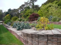
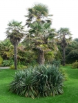
I had never been to Ventnor Botanic Garden, but I had the ideal opportunity today as the path runs alongside the southern edge of the garden. It also allowed me to call in and see Ian, who I had not seen since leaving Kew. The garden has a wonderful collection of plants, more commonly seen in more southerly latitudes but which flourish in Ventnor because of the microclimate.
Having had lunch with Ian, I can recommend the Banana Cake, I set off again and walked along the beach at Ventnor. Here I spotted an outlet for Minghella ice cream – I had passed the factory every day on my way on the bus to Newport but this was the first place I could taste it…
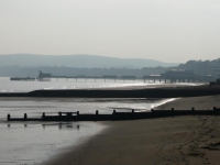
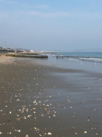
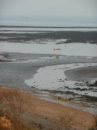
After walking off my ice cream, rounding the top of the cliffs of Luccombe Bay, I descended the Appley Stepps onto the beach at Shanklin. With the tide out I had several miles of golden sand stretching right round the bay to Sandown to walk along.
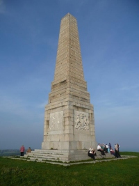
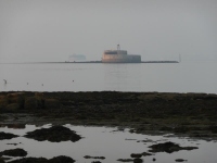
Powered by cake and ice cream I had made very good progress, and instead of catching the train from Sandown I continued on to Bembridge – the most easterly point of the island. In doing so I passed Bembridge Fort (a Palmerston Folly) and the memorial to The Lord Yarborough.
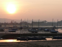
With the tide still out I could walk along the beach at Bembridge, and although I was at the most eastern end of the island got a view of a glorious sunset.
While I was only a few miles from Ryde it was getting dark so I caught the bus back from Bembridge Harbour.
View the map in Google Maps, or here is the Google Earth KML file.