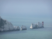
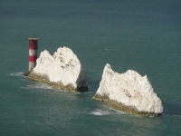
This was the stage I was most looking forward to, taking in The Needles and Tennyson Down – along with several long stretches of beach. The rain from yesterday had not quite been replaced by sunshine but at least it was dry.
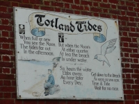
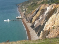
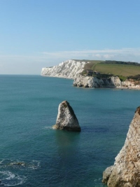
I started back in Totland Bay and the path quickly climbed up to the top of Headon Warren, offering good (though not the clearest) views of The Needles. The path took me above Alum Bay, with its cliffs of coloured sands.
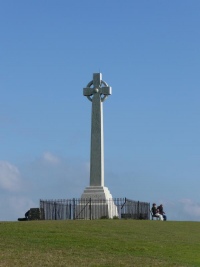
After wandering around the fortifications on the cliffs above The Needles, I headed east for the first time in this walk – up Tennyson Down with the memorial at its summit. It was then down into the town of Freshwater Bay and another climb back up to Compton Down with just enough room between the main road and the cliff edge for the path.
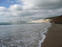
At Compton Bay I headed down to the beach, as the tide was on its way out. It was a steep climb down a wooden staircase which had shifted somewhat from the day it had been installed – while it was quite firm the angles of some sections were really quite alarming. The steps also stopped some way short of the beach and the last bit was a scramble and slide down clay slopes.
Sticking close to the water’s edge, where the walking was easiest, did result in slightly damp ankles. I considered trying to make it round Hanover Point into Brook Bay but the tide was not out far enough – though the tops of the fossil forest were just emerging.
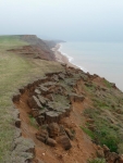
The next stretch of path was along the top of the soil cliffs at Sud Moor, and along Brighstone Bay, making occasional detours inland to bypass the chines along this part of the coast.
Making it to Chale I stopped for the day, having covered around 17 miles.
View the map in Google Maps, or here is the Google Earth KML file.