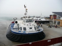
So I have finally made it overseas, a little later than predicted and not as far as one might have thought… Arriving in Portsmouth I headed straight for the Hoverport.
Catching one of the hovercraft over to Ryde I was starting a week of walking the Isle of Wight Coastal Path. The route was listed as a long distance path, though it only stretches for about 65 miles around the IoW, and is freely available to download from the IoW Tourist Information website.
It was mid afternoon, which left plenty of time for a few miles of walking, and I set off from Ryde Pier to walk to Cowes. Officially this is listed as the last (6th) stage but it was more convenient to start at Ryde, and in any case I hoped to lump some of the stages together as I only had four and a half days to now finish the walk.
Having read the guide, and studied the map, I did not hold out much hope for this stage of the walk – it hardly followed the coast and spent much of the time meandering through housing estates and following main roads.
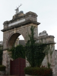
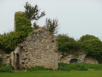
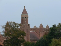
There were a couple of nice surprises, the first of which was a magnificent gateway in the middle of a housing estate. The second was the ruined abbey, quickly followed by the third, Quarr Abbey – which was very much unruined.
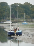
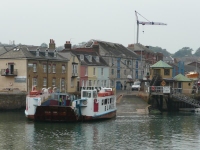
After passing the ferry terminal at Fishbourne, the nicest sight of the day was the boats at low tide in Wootton Creek – which kept me going until I reached the chain ferry at East Cowes.
I had made good progress and quickly made it through the streets of Cowes to the Esplanade at Egypt Point. Checking the map and bus times there seemed little point in continuing further as I would only have to retrace my steps to Cowes in order to catch the bus back to Ryde and the B&B. The path to the west of Cowes would have to wait until morning.
View the map in Google Maps, or here is the Google Earth KML file.