Thankfully after the tribulations of yesterday with transport I was back at Longformacus before 9am and heading quickly east. While it was only 17 miles to Cockburnspath I had to be there before the bus left in order to get to the B&B for the evening in Dunbar.
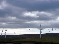
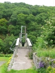
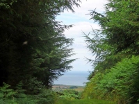
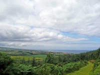
The path twisted and turned its way through farmland, then moorland, on its way to Abbey St Bathans and another suspension bridge over a river. It then continued passing several large farms until it reached the A1 and the East Coast Mainline Railway which both snaked through a deep valley. After crossing both it was then a long slow walk up hill through the final stretch of plantation forest before I caught my first glimpse of the North Sea.
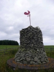
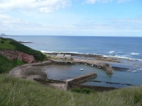
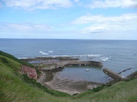
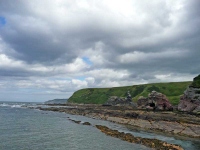
The views then opened out and I could see the finish in the valley below. The path makes an aborted attempt to reach the sea at Pease Bay (with its caravan park), and then heads for the clifftops above Cove Harbour – which is perhaps spiritually the end of the walk even if it is not the official one.
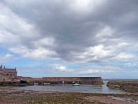
A short detour took me down to the lane to Cove Harbour, where you can then walk through a tunnel built by the Victorians to reach the small beach and southern harbour wall. It is here that I left the stone so carefully selected and carried all the way from Portpatrick.
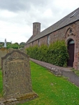
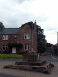
Having spent some time gazing out to sea I headed back to the path and completed the short distance into the small village of Cockburnspath, and to wait of the bus.
I had managed to complete the Southern Upland Way, all 212 miles of it, in 11 days!
View the map in Google Maps, or here is the Google Earth KML file.More photos (from all the days of walking) can be found in the photo gallery.

