Opened in 2005, the Sussex Ouse Valley Way meanders along the valley of the River Ouse in Sussex, from close to its source (near Lower Beeding) to the sea (at Seaford Bay). It is 42 miles long, and I hoped to complete it in 2 days – making the best of what the weather forecasters are suggesting would be the last days of summer weather for this year.
The highlight of the first few miles is the Balcombe Ouse Valley Viaduct. It was completed in 1842 for the London & Brighton Railway, and is made up of 37 brick arches. The viaduct was designed by the engineer John Urpeth Rastrick, the architect David Mocatta was also associated with the design. It is listed Grade II*, and was extensively restored in 1996-99.
By the time the path reaches the viaduct it has already crossed many streams, though they are small and often no more than ditches. The first stretch of river that you walk along is adjacent to Rivers Wood, where I caught a flash of blue and orange as a kingfisher took off from its perch and flew downstream. No sooner had I started to follow the river, the path headed off uphill through the wood.
At several points along the walk you get good views of the High Weald to the north. In mid September this seemed either to be over the tops of sweetcorn / maize, or a newly harvested field.
On the first day I had walked about 21 miles, but had not quite made it half way. At the Bluebell Railway I decided to stop for the day.
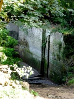
The River Ouse used to be navigable for over half its length, though it is now too silted for anything other than a canoe. In several places remains of old workings can be seen. Isfield Lock has been recently excavated by an archaeological team.
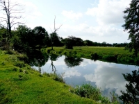
At Barcombe Mills the walk has flattened out completely and you start to walk along the river bank as it meanders across the flood plain. It is tidal from this point, and the tide was just about in and the river was very muddy looking.
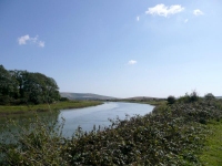
The river passes through a gap in the South Downs at Lewes. Just south of here is broadens out with wide meanders. It was very flat walking but a bit disconcerting to follow each meander when the direct route was half as long.
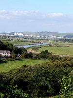
Instead of heading up to the village of Rodmell I continued to follow the river, but at Piddinghoe the footpath runs out (to be replaced by road) so I took the recommended diversion that took you up hill – and gave a fantastic view back towards Lewes.
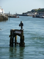
The boatyards at Newhaven were quite a welcome sight, but there is still a few miles to go before I made it to the beach at Seaford. The walk passing the ferry terminals, railway stations and industrial areas was not very pleasant, and it seemed quite a haul to make it to the beach.
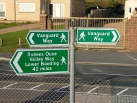
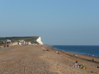
Just passed the yacht club I spotted a sign back to Lower Beeding – I must have reached the end! I was quite thankful for that – I did over 23 miles in a day and the cliff at Seaford Head looked a very long way away.
The complete gallery of pictures can be found here.
The Sussex Ouse Valley Way uses a number of footpaths and stretches of road. The book by Terry Owen and Peter Anderson was indispensable – give directions and a lovely commentary about the areas visited.
View the map in Google Maps, or here is the Google Earth KML file.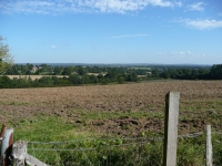
Thanks that’s on my door step. think i might have a go .. even may take my kayak have to look in to that . nice pics
I think the second day would make a really good trip by canoe or kayak, though much above Newick (Goldbridge) the river is quite small.
While walking I was thinking a return trip up the river from Newhaven would be in order one day, just need to learn how to canoe..
I kayaked down the Ouse from Newick to Newhaven in 1961. Landing at low tide at Newhaven was pretty mucky!