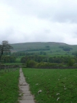
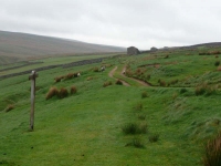
The evening before the cloud had been down and covered the fell tops to the north, drawing back the curtains it was a relief to see the cloud had lifted slightly overnight. The weather forecast was not good though and I headed out prepared in the full wet weather gear (the first time they had seen the outside of the rucksack on this walk).
The path passes the Green Dragon Inn, which within its grounds contains Hardraw Force – though it was still early and the weather was worsening so I continued through the village without deviating.
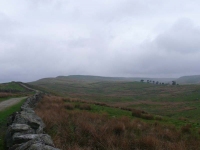
The long steady walk uphill to the top of Great Shunner Fell starts at Hardraw, and the higher I walked the lower the cloud got – and we met about halfway up at Black Hill Moss.
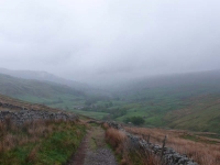
As I got higher the rain got steadier and the cloud thicker. There are apparently very good views from the top of Great Shunner Fell, I had trouble just finding the shelter on the top. I paused for a few moments to shelter from the wind, but quickly headed northwards down the hill before I got too cold. As I headed down into Thwaite I could see that Swaledale was almost full of mist, though thankfully the rain had eased off.
In Thwaite I stopped for a warming cup of tea, what a year makes – last time I was eating ice cream and drying my boots out in the sun! The time drinking tea was well spent as the mist lifted, the rain stopped, and a small patch of blue sky made a brief appearance.
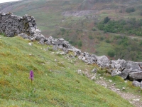
From Thwaite it was up to Keld, this time to the eastern side of Kisdon Fell, which was a lovely stretch of walking and gave great views up Swinner Gill and the Coast to Coast route I took last time I was here.
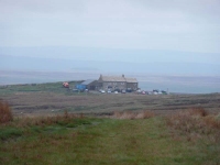
Having arrived at Keld in early afternoon I decided to continue up to the Tan Hill Inn (the highest inn in England at 1,732 feet / 528 m) which would reduce tomorrows mileage and allow me to do the Bowes Loop.
View the map in Google Maps, or here is the Google Earth KML file.More photos (from all the days of walking) can be found in the photo gallery.
