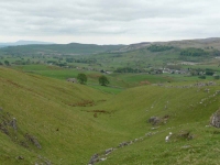
It was overcast but the air was clear. If it was not for the chill northerly wind it would be almost perfect walking weather. Despite the lack of sun I still wore my sunhat to help keep my head warm.
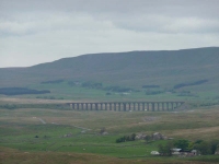
I started the long gradual ascent out of Horton in Ribblesdale, and once I was up on the moorland the path forked to the left – it could have been an interesting excursion as I could see the viaduct away in the distance.
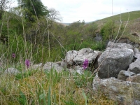
The Pennine Way headed off to the right, and that was the way I headed, passing Jackdaw Hole (a cluster of trees surrounding a pothole) and Ling Gill whose steep valley sides seemed to be carpeted in purple orchids – before heading over the old packhorse bridge.
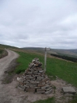
The path was still steadily rising and I continued up to Cam End and the long ridge walk to Ten End and the descent into Hawes. With a cool wind and no sign of the sun I had not paused for long along the route and it was early afternoon when I arrived in Hawes – leaving lots of time to visit the Wensleydale Creamery.
View the map in Google Maps, or here is the Google Earth KML file.More photos (from all the days of walking) can be found in the photo gallery.


