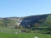
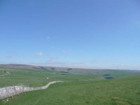
Having walked up and over the Cove, and made it to the base of the cliffs, yesterday I decided to ignore the Pennine Way sign and headed up the road to get a different view. I then cut across to the limestone pavement and picked up the proper route again to head up the dry valley to the tarn.
Walking around the tarn to the east the walking becomes almost joyous on the velvety and springy turf, though it did not last long and the path soon rejoins a track and heads up towards Fountains Fell.
Alas there are no fountains on Fountains Fell, just the traces of old mine workings. The fell was so names as it was once part of the estate that included Fountains Abby.
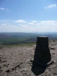
Heading down the northern side of Fountains Fell, Pen y Ghent started to loom large. The path then doglegs along a minor road so that you are presented with a path that winds it way up the western ridge of the fell. With improving visibility I took all the opportunities granted me to pause and take in the view on the way up.
Pen y Ghent means ‘hill of the winds’ in welsh – and it was quite blowy on top – though quite what the welsh were doing naming is hill in Yorkshire I do not know.
Having made it to the summit there was then a very tedious route down, all the way to Horton in Ribblesdale which was clearly visible in the valley below. The only redeeming feature of the route down was the café at the end of the track, which served tea by the pint and was a source of excellent chocolate caramel shortbread.
View the map in Google Maps, or here is the Google Earth KML file.More photos (from all the days of walking) can be found in the photo gallery.


