It was not going to be a very long walk to Malham – just under 10 miles so it should be easy to polish off by lunchtime, which was good news as there was lots of walking and sightseeing to be done around Malham for the rest of the day.
I thought about continuing into Gargrave on the canal towpath, but there was a shortcut across the fields to the Pennine Way so I took that option. The going was pretty easy and I was in and out of Gargrave in no time, pausing only to look at the Gargrave locks – which brought back happy memories of holidays years ago.
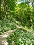
After a bit of road walking it was back into the fields, this time with a good crop of grass for silage or hay – all traces of the path vanished and I ended up slightly off track on the wrong slide of a small plantation of trees. Thankfully though it was not long until I was back on the right route walking along the River Aire.
It was the River Aire, and some of its tributaries, that I would follow into Malham – arriving just passed noon.
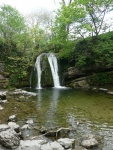
With no more progress to be made on the Pennine Way today, I dumped my rucksack at the B&B and headed off around Malham – first stop was Janet’s Foss (the name Janet is said to refer to a fairy queen who lived in a cave behind the waterfall, Foss is a Nordic word for waterfall).
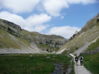
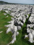
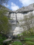
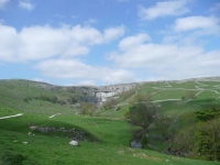
Next it was up to Gordale Scar, and thinking better of clambering up the waterfall I retraced my steps back around to take the path up to the top of Malham Cove with its great sheets of limestone pavement.
The descent down to the bottom of the Cove was fairly tedious. It is so well trodden that in some places the stone steps have been polished smooth so that in the late afternoon sun the shone in places like silver.
Having made it to the bottom of the Cove I found a group of RSPB and Wildlife Trust bird watchers, and made use of their telescopes to see one of the peregrine falcons who were nesting high up on the cliff of the cove – though at the time it was trying its best to hide behind a branch of the tree (apparently I had missed it do all sorts of interesting things that day, including catch numerous rabbits).
I was then back down the road into Malham village, and a 10 mile walk had become 15 or more miles!!
View the map in Google Maps, or here is the Google Earth KML file.More photos (from all the days of walking) can be found in the photo gallery.


