Having received instructions on how to get back to the Pennine Way I dared not take another route for fear of the potential consequences! (the regime at B&B I stayed at on the outskirts of Hebden Bridge was quite authoritarian, if not outright dictatorial).
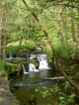
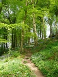
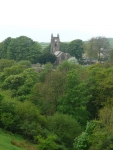
Anyway it would have been a long walk back along the road, and the suggested route took me through a cool wooded valley – taking in carpets of bluebells and wild garlic and a stretch of beech woodland (my favourite) before rejoining the trail.
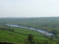
I was soon back on the official Pennine Way, making my way up onto the open moorland of Heptonstall Moor with more reservoirs in the distance. I caught up again with the chap who was doing his Lands End to John O’Groats (lejog) who confessed to have been dawdling, and headed with him up to Bronte Country and Top Withins.
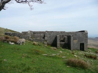
Top Withins is reputed to have been associated with Wuthering Heights, the Earnshaw home in Emily Bronte’s novel. However the building, even when complete, bore no resemblance to the house she described, but the situation may have been in her mind when she wrote of the moorland setting.
From Top Withins and all the way down to Ponden Reservoir all of the signposts were bilingual, with the English accompanied by what looked like Japanese. At the reservoir there was a short excursion around its shores, and then a short sharp climb through fields heavily populated with sheep to the moorland and Bare Hill.
The warm breeze of the last couple of days had become a cool north-easterly wind, and it was most welcome as the sun was beating down again from a clear blue sky – the back of my legs are getting quite a good tan, though I suppose that is the price for walking north.
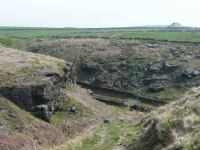
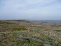
The stretch of moorland across Ickornshaw Moor was fairly unforgiving in its bleakness, and I was quite pleased to see the flagstones meandering ahead of me again – otherwise it would have been very slow going.
Eventually I could see the spire of the church in Cowling in the distance, but it was going to take quite a while to get there as it seems the route tried its best to avoid Cowling – but it finally dropped down through farmland into the outskirts of the village and the B&B was just a short walk away along the road.
View the map in Google Maps, or here is the Google Earth KML file.More photos (from all the days of walking) can be found in the photo gallery.
