It was half a mile or so back to the Pennine Way, so I took up the offer of a lift – I needn’t have bothered as much of the day was very easy walking on the flat.
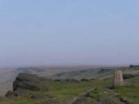
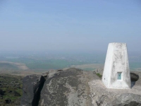
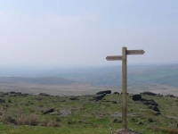
It was again very hazy (if it were autumn it would probably be described as misty) spoiling what hinted as great views.
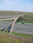
The moorland was gently rolling and there was a good sense of progression with road crossings at regular intervals, and not before too long the path was crossing over the M62 high up on a bridge.
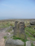
One of the best views should have been from Blackstone Edge, but the haze was fairly thick and I moved on quickly – following an old pack road down to contour along the Broad Head Drain.
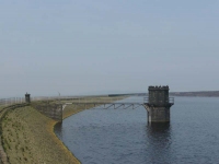
From then on it was really flat and easy walking along the edges of more drains and the occasional reservoir.
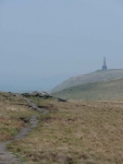
A little further on the monument on Stoodley Pike hove into view, though it was going to be quite a while before I got to the base of it. When I got there it was still fairly early in the afternoon and instead of cutting down on one of the numerous paths to the town I stayed on the Pennine Way until I reached the Canal. Thankfully this path descended down through woodland, which was much cooler and fresher walking.
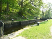
There were lots of cyclists riding along the towpath, but little boat traffic on the canal, as I walked by a few locks to find my B&B on the edge of town.
View the map in Google Maps, or here is the Google Earth KML file.More photos (from all the days of walking) can be found in the photo gallery.
