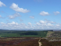
After a bit of road walking, and then continuing along a farm track, it was again up onto heather moorland.
I was so pleased that the ground was so dry as there were no slabs to aid you on your way, and by the look of the deep footprints left in the peat this area could be quite a quagmire when it is wet.
I was making quicker progress than I expected and was soon passing the large pepperpot cairn on Padon Hill and clambering up a steep slope next to a large plantation forest.
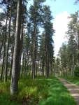
The path flirted with the edge of the forest for a while but eventually headed into the plantation and passing a sign proudly welcoming Pennine Way Walkers. It was not the greatest welcome in the world as the handful of waymarkers on the forest roads were few and far between. I suppose they think if you have made it this far your sense of direction and homing skills will have been finely honed.
The only progress indicator of note was the sound of the Bank Holiday Monday traffic roaring up and down the A68 on the other side of the valley.
Following many miles of dry forest roads the path finally reached the River Rede, and a nice stretch of walking along the riverbank took the path into the hamlet of Byrness.
The day’s walking was now over, just one more stage and 26 miles of the Pennine Way was now left.
View the map in Google Maps, or here is the Google Earth KML file.More photos (from all the days of walking) can be found in the photo gallery.


