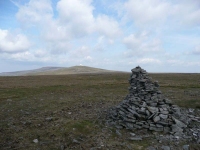
I could see the day’s main objective from the breakfast table, and while the sun was out the clouds were ripping across the tops of the fells at quite some speed.
Thankfully there was no scrambling involved (as I was not feeling too well), the path climbed steadily up towards the summit of Green Fell, and then after short descents and ascents went over the peaks of Great Dun, Little Dun and Cross Fells.
The fell that was easiest to recognise from a distance was Great Dun, with its masts and radar dome – which were to remain in view for much of the day, most disconcerting at it is 16 miles to Garrigill !!
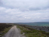
Heading off the northern side of Cross Fell, I stopped at Greg’s Hut (Bothy) to review the map. The ‘mistake’ I made was thinking that most of the hard work was over, as I was only about halfway to finding my B&B for the night. It was a very long trek following a path that seemed to prefer to try and twist your ankle with every step than let you pass.
The twists and turns in the path also teased you as to the progress you were making, time after time it delivered yet another fell to be contoured round instead of offering what was finally a glorious view of the River South Tyne valley when I made it to Black Band Fell.
Thankfully from the top of Black Band it was a short descent down into Garrigill to find my B&B for the night.
View the map in Google Maps, or here is the Google Earth KML file.More photos (from all the days of walking) can be found in the photo gallery.


