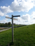
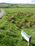
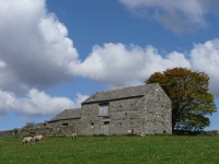
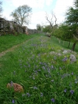
After a brief tour of the building works, pausing momentarily to gaze at the new (reconditioned) Aga, I left the B&B and headed out on a beautiful spring morning on the second half of the Pennine Way.
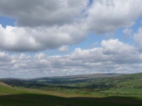
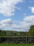
The sun was out and the blue sky was studded with rows of fluffy white clouds. To my right was the enormous dam of the Baldersdale Reservoir which looms over the bridge and Hannah Hauxwell’s old farm, Low Birk Hat Farm (which now looks very smart and tidy). Durham Wildlife Trust now tends to some of her meadows, though it was too early in the year to see it in all its glory in flower.
Heading further north it was over another hill and patch of moorland before descending down and across another reservoir (Grassholme), then more moorland and a descent down to the River Tees and the village of Middleton-in-Teesdale. The path does not go through the village but I headed in to find a cup of tea and a sandwich as it was fast approaching lunchtime.
Rejoining the path I was now to follow the River Tees upstream practically all the way to the B&B – though that was a long way off with many wondrous things to be seen before the day was out.
At times the path stuck close to the river, at others you walk high above the water in woodland or meadows. The river was quite low, and looked fast flowing, meaning there were plenty of rocks for the numerous Pied wagtails to fly between.
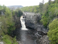
In various places along the river there were small rapids or waterfalls, though there are two that were quite impressive: Low Force and High Force, the latter has a drop of 21 metres. Unfortunately the river was quite low and they looked less spectacular than some of the guidebook photo – though as I was on the south side of the river at least I did not have to pay to view High Force!
After passing a large quarry, and the danger signs about blasting operations, the path headed up and over a small hill before making its way back to the river and crossing over it close to Langdon Beck – and where I was stopping for the night.
View the map in Google Maps, or here is the Google Earth KML file.More photos (from all the days of walking) can be found in the photo gallery.
