It was a late start at Tan Hill, 10am when I was dropped off. No sign of any Pennine Way walkers but the first of a few (of the 700) cyclists were already enjoying the sandwiches that were being prepared the afternoon before.
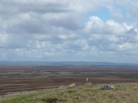
It was great to be walking over springy peat turf, though it was a bit boggy in places. This stretch had no flagstones and only a couple of very short stretches of duckboards – there was a bit of guidance with a smattering of white posts at various intervals, which gave reassurance that the right route was being followed.
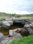
I intended to do the Bowes Loop, but headed down to God’s Bridge first to see the arch of limestone over the River Greta – though it was disappointing that there was no water flowing in this stretch, just a few small pools.
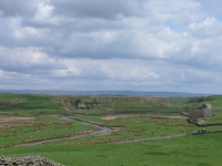
The walk through farmland into Bowes was lovely – and much better than the guidebook suggested. I stopped to have a look around the ruined castle, and get warm in the pub, before heading north again skirting by the danger areas.
Having survived the danger areas the path descended down toward the middle of a group of three reservoirs in the valley, and it was just a short walk to Baldersdale, which is the halfway point of the Pennine Way – Hooray!!
View the map in Google Maps, or here is the Google Earth KML file.More photos (from all the days of walking) can be found in the photo gallery.


