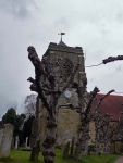
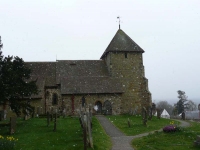
Today (day 3) started off with quite a bit of road walking so I was able to make good progress on the tarmac of the narrow country lanes. Before long I was high up on Bidborough ridge and the snow started up again – though this time they were large delicate flakes which drifted haphazardly in the breeze.
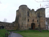
My progress was quickly slowed as I descended off the ridge and down towards the River Medway and the main roads that ran along the valley. What looked to be a fast walk along the country park and into Tonbridge became a very slow slip and slide so it was quite a late lunch that I ate sitting opposite the castle.
I had thought getting to Tonbridge had been slow, until I started the 5 miles or so of walking along the riverbank out of Tonbridge to the east. It was quite a trudge and not particularly interesting walking – it was quite a welcome sight when the path finally turned away from the river to head north again, as I was deep into Kent fruit country.
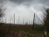
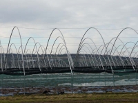
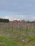
As well as passing by hop fields and fields of top fruit, the rising ground towards the North Downs was obviously good for early soft fruit production – judging by the acres of polytunnels. The area is also famous for Kentish cob nuts, a type of hazel nut.
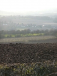
Despite the slow progress along the mud of the river valleys I still managed to make it the 20 miles to Gover Hill – with great views to the south over the Kent farmland. I had hoped to make it a little further as tomorrow I have to make it over the North Downs and all the way to Gravesend.
More pictures from the walk can be found here.
View the map in Google Maps, or here is the Google Earth KML file.