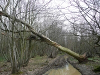
Starting the final leg of the Wealdway at Gover Hill I had just 16 miles or so to get to Gravesend. The first few miles of walking was through a lovely woodland of chestnut coppice and oak standards. It had been the first be of decent production woodland I had walked through on my entire journey. It was not long however until I reached the other side and the view over to the North Downs.
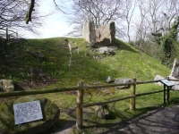
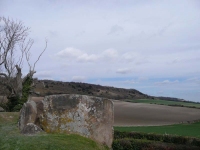
Having crossed under the M20 and round a big sand pit / quarry, I was fast approaching the steep southern escarpment of the North Downs. Before I got to the bottom of the climb up I stopped next to Coldrum Stones Long Barrow.
The slope up the North Downs was steep and very overgrown, in places I had to stoop to get under branches, with no clear views to the south. The path traversed the slope at an angle and before long I was up on the wooded plateau – which was again chestnut coppice.
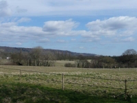
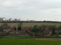
I had not expected such flat plateau and it was quite a way before I was out into the rolling downland I had expected, but even that dropped down gently northwards towards the River Thames – and I was once again walking along slippery paths through fields of winter wheat making my way to the pretty village of Luddesdown.
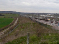
There was yet more fields of winter wheat to cross, and this final bit of the final day became a bit of a trudge. I still had to cross over the Channel Tunnel Rail Link and the only thing that kept me going was whether I would catch a train! I almost did not – the path crossing over the line had been closed due to construction of a new road on the far side. I did however go round the fence and make it to the top of the embankment just in time to see a Eurostar train wizz by – it is indeed a high speed link.
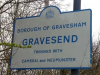
That is where the good walking stopped, the path diversion took me through the roadworks – forcing me to cross the busy road 4 times to make it to the other side of the A2 and the outskirts of Gravesend. The walk into Gravesend does not do the Wealdway any justice with the route taking you alongside the main road. Having visited the town on my Kent Coast walk I quickly came to the decision that I had walked far enough and headed home.
Apart from the last 3 or so miles the Wealdway was an excellent walk, and I much enjoyed it. It was a little slippery under foot for much of the way and it was a shame that none of the bluebells were out yet – but then I did choose to walk it in late March! With a couple of alternations – like finding a different finishing point – I think it will be well worth walking again at a different time of year.
More pictures from the walk can be found here.
View the map in Google Maps, or here is the Google Earth KML file.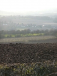
We’re hoping to walk the Wealdway next May in the opposite direction from you, so it was interesting to read your comments. Is it necessary to have the book or can you manage with just the maps? We plan to take 6 days for the walk as we will have a group of people of varying abilities.
@Mary
I found the Wealdway to be fairly well waymarked, and it should be pretty easy to manage with just maps.
To be honest while I might take a guidebook with me on a long walk I have yet to refer to it for turn-by-turn instructions. My main reason for taking a book is if it contains maps of the route which I can follow – saves taking a large number of OS sheet maps. I am trying to organise completing the Vanguard Way in the near future, and for the 66 miles I have 6 OS Explorer maps!!