The Wealdway guidebook had been looking lost on my bookshelf for quite a while and, as a very kind lady at Kent County Council had copied it for me as it had gone out of print, I felt it had laid there for long enough. At 80 miles long it would split nicely into 4 parts – as the perfect accompaniment to the Easter bank holidays.
The Wealdway runs from the English Channel coast to the Thames Estuary across the Weald – crossing two chalk escarpments to the north and south (the North and South Downs), meandering through a patchwork of farmland of the Low Weald, and riseing up over the sandstone of the High Weald at Ashdown Forest.
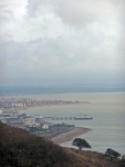
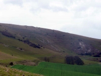
I didn’t see much point in walking through Eastbourne again so I started at the top of Beachy Head and headed north. This was easier said than done, it just so happened that the UK was being battered by gale force northerly winds and this little bit of the South Downs was no exception. I made very slow progress tacking into the wind, but the views across to the Weald were enticing, and descending down into Jevington the wind eased slightly.
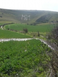
So far I was sticking closely to the South Downs Way, but the Wealdway route to Wilmington loops round to the east so that you get a good view of the Long Man of Wilmington.
Leaving Wilmington I was finally off the South Downs and in the valley of the Cuckmere River, which rises in Sussex and flows south to reach the sea at Cuckmere Haven – said to be the only undeveloped river mouth in south-east England but that was now miles away.
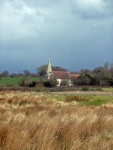
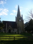
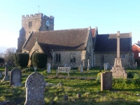
I was now walking across small fields of the Low Weald joining the dots of small villages and not so small churches all the way to East Hoathly where I stopped – having completed 22.5 miles.
More pictures from the walk can be found here.
View the map in Google Maps, or here is the Google Earth KML file.