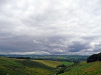
The sky looked heavy with big lumps of dark black clouds, though with a few lighter patches and a positive forecast gave a bit of hope for a dry day – so I took my time over breakfast.
As I left the B&B in Melrose I had a brief thought of rejoining the Southern Upland Way here, but as the sky was brightening fast I caught the bus back to Galashiels. After a few twists and turns through the streets of the town I was back on track and heading around the town and back to Melrose.
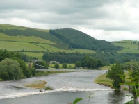
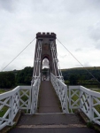
I was disappointed that the path bypassed the centre of Melrose by following the river, and while it took a bit of time to get to the bridge I then found myself almost double-backing but on the other bank for almost a mile before turning away from the river and heading up hill.
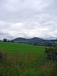
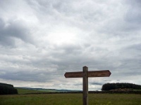
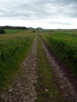
The path climbed up hill into rolling pastureland, with fields stretching out into the distance along the line of the old Roman Road that the path follows here.
The route then turns off the line of the Roman Road to head down into Lauder, where I was finishing for the day.
View the map in Google Maps, or here is the Google Earth KML file.More photos (from all the days of walking) can be found in the photo gallery.


