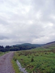
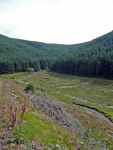
I decided not to use the main road to get back on the Southern Upland Way, and took the alternate route out of town using minor roads. It was then a long slow walk up hill into the forest. At the gate a notice warned if forestry operations were being undertaken to use the high level route – thankfully they did not.
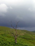
The clouds that looked threatening overhead had thankfully continued on their way, as I had headed in the other direction, it was good to see the sky was brightening up. While I continued along the lower route it did not mean that it did not head up hill, and it had taken some time to reach the far edge of the forest.
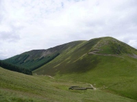
I finally reached the bottom of the crags of Cape Fell, and looking back I as rather pleased not to have taken the higher route, and I could see the path descending via a series of zigzags on Croft Head.
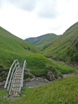
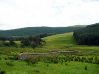
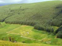
From here the path stuck close to the valley bottom, and after a short stretch of moorland and then forest I could see the Over Phawhope Bothy below. It was good to have a sit down again in a bothy and read another visitors book.
There was then a good 6 miles of road walking, and very tiring it was following the Ettrick River. By the time I got to the style which took the path up the valley side, and then down towards the loch, my feet were aching badly so I stopped and let them air and dry out in the weak afternoon sun.
There were still almost 5 miles to go before I reached Tibbie Shiels Inn, but there were quite a few hills to head over and around. Each time I made it to the top of a hill I hoped to see the 2 lochs spread out in the distance, each time I was disappointed and it seems the classic view of the lochs used for the cover of the guidebook must have been taken a few hill tops away.
It was a little while but I finally joined up with the old drove road that would take me down the last hill and to the shore of the loch. It was just a question of whether I would get there before the rain started from the gathering back clouds building up behind me. It was about a draw, as I was only slightly damp as I reached the B&B.
View the map in Google Maps, or here is the Google Earth KML file.More photos (from all the days of walking) can be found in the photo gallery.
