I was glad I was starting from Britain’s highest village, but there were still some long climbs today that would take me over the highest point on the walk on a day that was almost 25 miles long. Thankfully it was cool and cloudy as I started out from Wanlockhead, really good walking weather, though it was not to last with some early rain and then heavier showers in the afternoon.
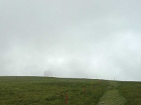
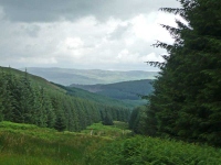
The first objective was to make it to the ‘Golf Ball’ radar station at the top of Lowther Hill (the highest point on the walk at 725 metres), but as I made my way over the first ridge it was nowhere to be seen, shrouded in low cloud which was clinging to the tops of the hills on the route ahead.
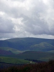
I eventually made it to the top, and as the cloud swirled around I did catch one glimpse of the radar station. It was not until late afternoon I would get a good view of it as it still remained on the horizon before the descent into Moffat. Though it looked like elsewhere they were having good weather.
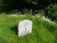
After Lowther Hill there were some of the sharpest ascents and descents up and down Comb Head and Lamb Hill. I was ruing the decision not to make use of vehicle support again – which meant I could have done this 5 mile section yesterday, instead of spending the afternoon in the museum tearoom. It was too late to change my mind and I made sure I had a good sit down on a style near Portrail Water, which by my reckoning is about halfway on the whole Southern Upland Way.
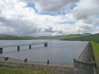
On my way over to Daer Reservoir I met 3 other walkers!! It was nice to be able to pass the time of day with them; they were walking locally but from their knowledge they must have walked much of the Southern Upland Way over the years.
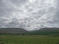
Today was the first day the route took the hills head on, and it was tough going. After the hills this morning I had quite enjoyed the flatter stage to the dam, but now the route seemed to go out of its way to loop round to take in an extra ridge before diving down into thick plantation forest.
To break the monotony of the plantation, as the path followed the line of a gas pipeline, I diverted off route for half an hour or so to take a break at the Brattleburn Bothy, and it was very good to let my feet get a little air.
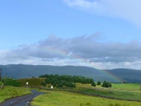
Having then made it down to Beattock the way into Moffat, and the hotel for the night, was not great despite the promises made by a glorious rainbow – the route went over the mainline railway, under the M74, and along the busy main road for a mile or so. To make matters worse it was now raining heavily.
Tomorrow would bring a shorter day (only 20 miles!), fingers crossed it would be a little drier.
View the map in Google Maps, or here is the Google Earth KML file.More photos (from all the days of walking) can be found in the photo gallery.
