It was thinking about the 7.5 miles to do today that got me through yesterday’s mammoth 28 mile stage, though even after a good rest overnight my legs probably never actually stopped moving as I slept. My wish for a late breakfast almost backfired by a power cut, though it came back just in time as I tucked into the large bowl of porridge I had been given to keep me occupied.
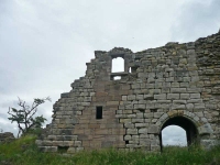
After a quick trip to the ruins of Sanquhar Castle (unfortunately surrounded by a high fence with signs warning of dangerous building, though it hardly seemed fair to cage it in) and Britain’s oldest Post Office (which is still operational), it was just after 11am before I really got going and headed out of town.
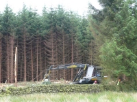
At last I actually saw some forestry operations on the go, after seeing umpteen warning notices on the previous days, as I passed by a small plantation on my way up to the first small hill of the day.
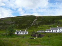
As I made it to the top of the hill it started to drizzle, though the rain did clear up by the time I had made it to the top of the second hill (Glengaber Hill) and I had a good first view of Wanlockhead and the scars and remnants of the lead mines.
It seemed a steeper descent than the ascent and I was quickly down by the stream that ran through the valley, which was pleasant company on the walk up to the village at the head of the valley.
While I had dawdled for most of the way it had only taken a couple of hours to get to Wanlockhead, so after a brief pit stop to freshen up at the B&B I headed down to the mining museum (and its tearoom).
View the map in Google Maps, or here is the Google Earth KML file.More photos (from all the days of walking) can be found in the photo gallery.


