I knew it was going to be a long day of walking, but perhaps I had not appreciated just how long it would be crossing the range of hills that stretched out ahead of me today. It was Sunday and while everyone else seemed to be having a lazy start to the day I wanted to be up and out as soon as possible – though 9 o’clock drifted by before I was heading uphill out of the village.
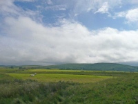
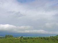
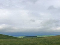
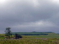
Whereas yesterday was long it was dominated by long stretches of tarmac or forest roads – today those easy walking sections were few and far between, and moorland was the order of the day.
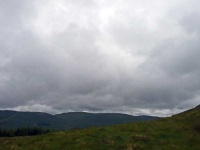
The forecast was not great, but thankfully there were only brief showers and I did see a few glimpses of the sun…
It took quite a while but by late morning I was at Stranpatrick, and its pickup point sign (for those who split yesterday and today into 3) – I pressed on heading towards the highest point of the day at Benbrack.
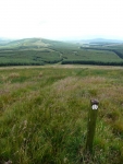
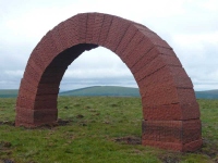
Eventually I got to the bottom of the steep slope up to the top of Benbrack, and it was heavy going – but with good views back with the patterns of roads and glades clearly visible in the forest plantations. I finally made it to the top, and was greeted by an enormous arch – through which another arch could just about be seen on top of another hill on the horizon. It was quite a site, though a shelter would have been more useful – there were patches of sunshine about though above me was a dark black cloud so I did not linger for long.
My next objective was the Polskeoch Bothy, which if I had been sensible should have been my finish point for the day, but before I got there the route wandered off to take in Allan’s Cairn (another covenanter memorial). I then met the first people I had seen on the walk, who were settling in for a night at the bothy. After a quick change of socks and discussion about the walking I left them to settle in and I headed off to complete the 10 miles into town as quickly as my tired feet would allow.
It was a long drag following a small tarmac road, and then the path took to the hills again to cross over to the next valley. Getting to the top of the hill finally offered a view to the town, though it still looked a long way off – and indeed it was.
I finally collapsed into the B&B almost 12 hours after I had set off – what kept me going was the thought it is only 7.5 miles to Wanlockhead tomorrow…
View the map in Google Maps, or here is the Google Earth KML file.More photos (from all the days of walking) can be found in the photo gallery.
