As I sat and ate breakfast the first shower of rain started – and while I knew I had over 25 miles to cover the prompt start I had tried to plan the previous evening was being fritted away as I faffed around getting ready…
Due to previous forestry operations the official route headed south out of the village for quite a way before following the Water of Trool river towards the loch. With the rain descending I decided to head north to follow the road to the Glentrool visitor centre (hoping the café would be open – it was not, I was too early) before heading down to the Water of Trool and picking up the official route.
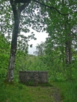
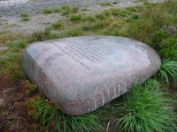
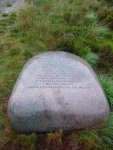
After a little while, with glimpses of the river, I was close to the Martyr’s Tomb and rested a while in the shelter of the trees. The tomb is in memory of 6 martyrs who suffered at this spot for their attachment to the covenanted cause in Scotland in 1685.
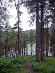
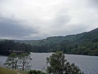
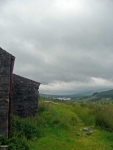
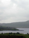
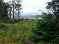
Continuing on around the Loch of Trool there were not many views of the water, as the plantation forests obscured most glimpses. At least the trees offered some shelter from the wind and rain – at times there were great herds of white horses charging down the loch.
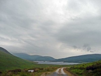
At Glenhead I took the old (alternative) now current route towards Loch Dee – though the sign at the junction put it in a more confusing way. Thankfully the route I took did not go over the peaks, but gently climbed out of the head of the valley amongst the shelter of the trees. Eventually the path made its way along an open track (with an interesting piece of sculpture) and I was then buffeted by the strong wind and persistent rain as I headed down towards Loch Dee.
I was making good time (the tracks around here were mostly topped with crushed oyster shells which made very good walking) so at Loch Dee I headed slightly off route to the Bothy at White Laggan. It was good to find a bit of shelter, and it was pretty well appointed and even had a radio.
Leaving the Bothy in a brief break in the rain I spotted two very hardy fishermen up to their waists in the loch – rather them than me, and I continued on as the rain started again.
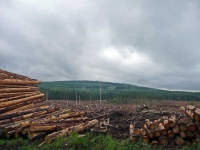
I have never been so pleased to see a set of pylons! I knew I was on the right route but passing along a nondescript forest track through seemingly endless parcels of plantations (some old, others newly planted, the occasional patch of freshly harvested) was almost disorientating.
There was then another loch – Clatteringshaws Loch – though the plug seemed to have been pulled out. By now it had stopped raining, though perhaps they still needed the water.
I then passed by a pickup point notice for those (sensible) walkers who choose to get vehicle support and break this stage (and the next stage into 3 chunks). I continued onwards…
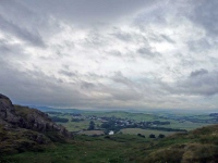
Having read the guidebook I was dreading the last hill before Dalry. In the end it was the long drag along an ankle-twisting track and then tarmac road that was the most wearing. The final bit up and over the last hill did not seem too bad; the view to the village below was most uplifting.
View the map in Google Maps, or here is the Google Earth KML file.More photos (from all the days of walking) can be found in the photo gallery.

