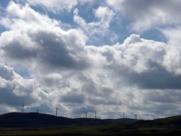
The weather was cool and clear, and the sun was trying its best to shine through the cloud, as I left the B&B and headed back towards the Southern Upland Way. The windfarm that was on the horizon yesterday was starting to get closer.
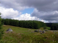
I was leaving the pasture and farmland, which dominated the landscape yesterday, behind me and ahead was a long trek over open moorland and enclosed plantation forests.
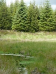
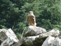
Arriving at the first stretch of forest the walking was good, along wide forest roads, and I quickened my pace to try and get ahead of a hoard of large flies (thankfully no pesky midges) which were a bit of a nuisance. In places there were large glades, some with wide open pools (with an occasional native yellow waterlily) and one that had a family of Goshawks (I think) who seemed to be having flying lessons from the top to a dry stone wall across the open grass to the tall trees at the far side of the glade.
I then came across the Beehive Bothy, and spent a little time there for a sit down and a read of the visitors book – it seems just a handful of people have been through here recently on the Southern Upland Way.
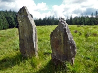
Leaving the bothy resplendent in my midge net, having become tired of trying to swat away the large flies, I soon came across the standing stones at Laggangarn and the Wells of Rees – which acted as a reminder to the history of this area and the landscape before it got flooded with plantation trees. The two stones used to be part of a circle of 13 or 14 stones and have marked the route over the moor for around 4,000 years.
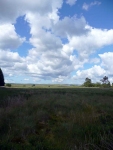
With the forest clearance and the open moorland around Loch Derry the view opened out to show the range of hills I would be starting to walk through tomorrow, though these views were to disappear quickly as the path again headed back into plantation forest.
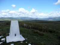
It was not until the trig point on Glenvernoch Fell, just outside Bargrennan, that the views opened out again. It had been a long day of walking (18 miles) by the time I got to the B&B and longer days were to come.
View the map in Google Maps, or here is the Google Earth KML file.More photos (from all the days of walking) can be found in the photo gallery.

