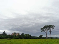
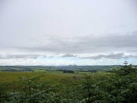
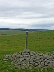
The route was very twisting and turning on leaving Lauder, the straight Roman Roads of yesterday seem to have vanished. The views back towards Thirlstone Castle were also a bit disappointing due to the trees that surrounded it, so I turned to the east and headed uphill amongst the pasture and small patches of woodland.
To the south the sky looked blue with a few ranks of fluffy white clouds stretching out into the distance. Unfortunately overhead and to the east the sky was slate grey and occasional heavy drops of rain were getting more frequent.
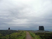
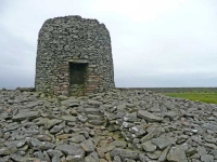
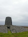
Heading out onto the moorland I could see the Twinlaw Cairns in the distance, though the path seemed to loop round to the north rather than taking the more direct route. I was about halfway to the cairns when the weather really closed in and I took shelter in a very conveniently located barn for a while.
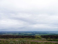
When I got to the cairns they had neat little seats built into them, so I rested a while and took in the view of the vale below with its fields and patchwork of small woodlands and plantations.
There was another conveniently located bench at the far end of the reservoir where I whiled away a few minutes before heading off to the small village of Longformacus and getting a lift to Duns to find the B&B.
Just one more day to go…
View the map in Google Maps, or here is the Google Earth KML file.More photos (from all the days of walking) can be found in the photo gallery.
