Heading down to the harbour after a good Scottish breakfast I felt ready for the challenge of the Southern Upland Way – all 212 miles of it, to be completed in 11 days!
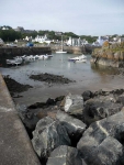
The forecast was for showers but at the moment the sky was light and bright with a thin layer of high cloud. I had quite a way to go today (24 miles) so I didn’t dither taking too many photos of the lovely harbour and headed up the cliffs – after selecting an appropriate stone from the beach.
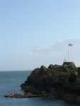
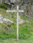
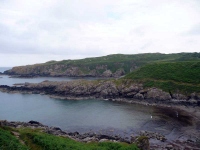
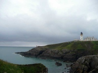
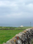
Much like the first bit of Wainwright’s Coast to Coast path, the Southern Upland Way does not take the most direct route from its starting point and I found myself heading north west towards the light house at Black Head.
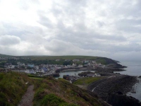
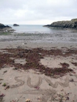
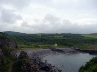
Before I got to the lighthouse there were several obstacles in the way, the guidebook describes this stretch akin to the South West Coastal Path, and the path went from high cliff top to sandy beach and back again.
Thankfully Black Head was only a few miles away and I was soon heading inland and eastwards – Cockburnspath here I come…
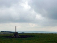
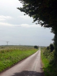
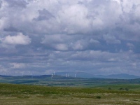
There was quite a bit of road walking today, the first stretch took me to Knock and Maize heading uphill to the first bit of moorland for today. After some lovely walking over the soft moorland it was back to the road for another long stretch. While the road walking was harder on the feet the number of birds of prey circling around the hills still outnumbered the cars that passed me.
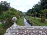
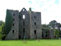
Crossing over the A77 I was at the gates of Castle Kennedy, I wish I could have stayed longer and wandered around the garden (particularly the avenue of Monkey Puzzle trees) but I still had 9 miles or so to complete. I did however taken on some refreshments – a nice cup of tea and a huge piece of cake.
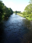
While a small road goes directly from Castle Kennedy to New Luce the path heads off across the countryside, skirting round the edge of a large swathe of plantation forest (then a tiny bit of broadleaved woodland) before crossing the Water of Luce river.
The path then strikes off westwards, bypassing New Luce and heading off into moorland. However I took another road into the village to find my B&B for the night.
View the map in Google Maps, or here is the Google Earth KML file.More photos (from all the days of walking) can be found in the photo gallery.
A great blog we have reallly enjoyed reading it, you have some great photos. We are planning to walk the route later this year in June and are trying to sort out accomodation for it now. Where did you stay? Do you have any recommendations?
@Rachael & Mark
Good luck with the trip – I love your blog and accounts of your walks.
I used an accommodation booking service southernuplandway.com and I can highly recommend them – it would be a bit unfair of me to pass on addresses but you can see from my posts where I stopped. The Cicerone guide had a good list of accommodation.
What I would have done differently is used some of the bothies – some of them are in beautiful spots and could have made many of the stages easier and a little more even.