As I continued to make my way through the 40 different sausage selections to choose from at the B&B for breakfast I needed to get out and stretch my legs. Without really knowing I had already walked up and around the highest peak in Cornwall last month, so chose one of the more heritage areas around Minions this time around.
Minions is the highest village in Cornwall, high up on Bodmin moor, and was totally created for the needs of the local industries: mining, quarrying and railways. It was almost entirely constructed in the few years between1863 and 1880. The area though is thought to have been inhabited for around 6,000 years, and old field systems and settlement areas can still be seen amidst the moorland, though they can be more clearly seen in Google Maps.
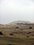
To the north of the village is Stowe’s Pound is an early hillfort set on the top of Stowe’s Hill, while there is said to be no firm dating evidence it is considered to be Pre-Ironage and possibly Neolithic. Some of the hill has quarried away on the southern side, the stone being used for buildings including Tower Bridge and the Albert Memorial in London.
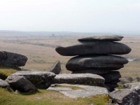
Next to the remains of the hillfort, and right on the edge of the quarry, is the Cheesewring is a natural formation of balancing rocks, along with several other stacks of similar rocks.
The name Cheesewring comes from the fact that the rocks resemble the bags of apple pulp used for making cider. These are locally known as cheeses and when piled on top of each other in a press form a similar shape.
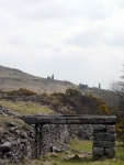
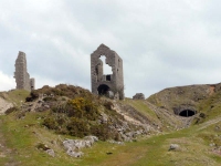
To the south of the village there is even more evidence of the industrial past with spoil heaps and derelict pump houses, chimneys and railway lines – the latter made very good walking.
More photos from the walk, this trip and the trip to Cornwall last month can be found here.
View the map in Google Maps, or here is the Google Earth KML file.


